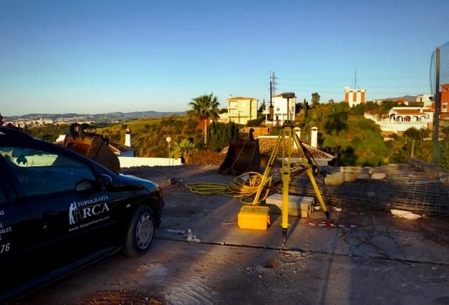
LEVANTAMIENTO TOPOGRAFICO CON DRONES, LINEAS DE ROTURA, ANALISIS DE PENDIENTES, CURVAS DE NIVEL, CURSO DEL AGUA, TRIANGULACION DE SUPERFICIES, RED DE PUNTOS
Topografía ARCA, con tecnología de medición con drones
En la fotogrametría topográfica obtenemos la topografía de terreno de grandes extensiones y ortofotos actualizadas, sustituyendo las herramientas clásicas de la topografía, por mediciones con drones


Medición con Drones